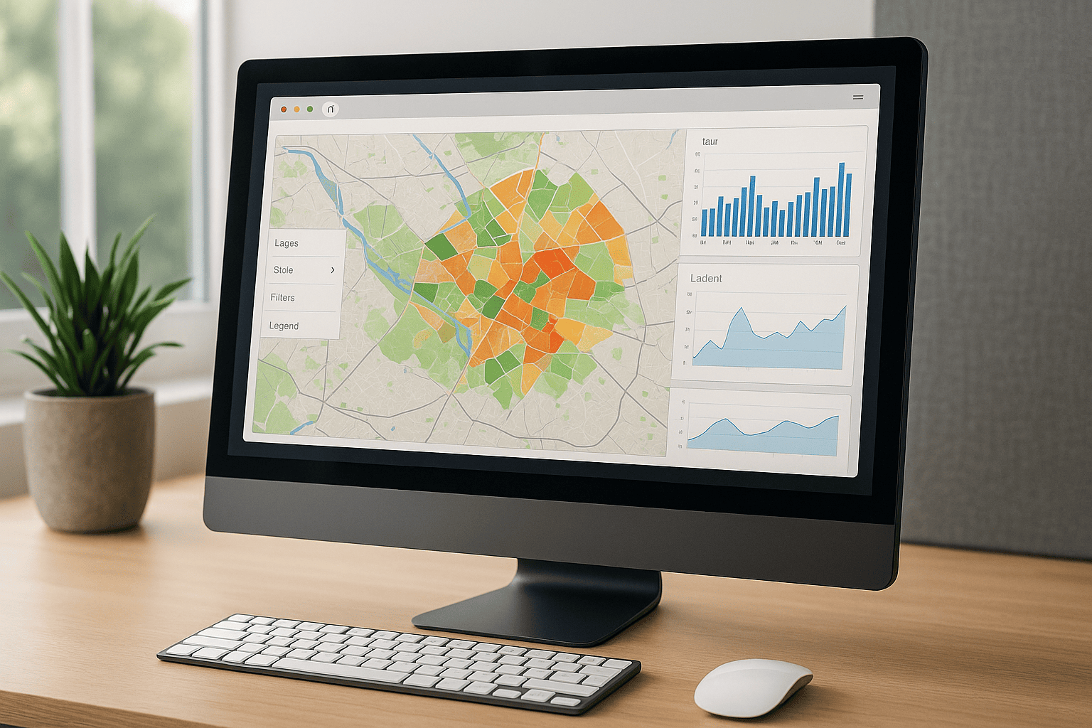
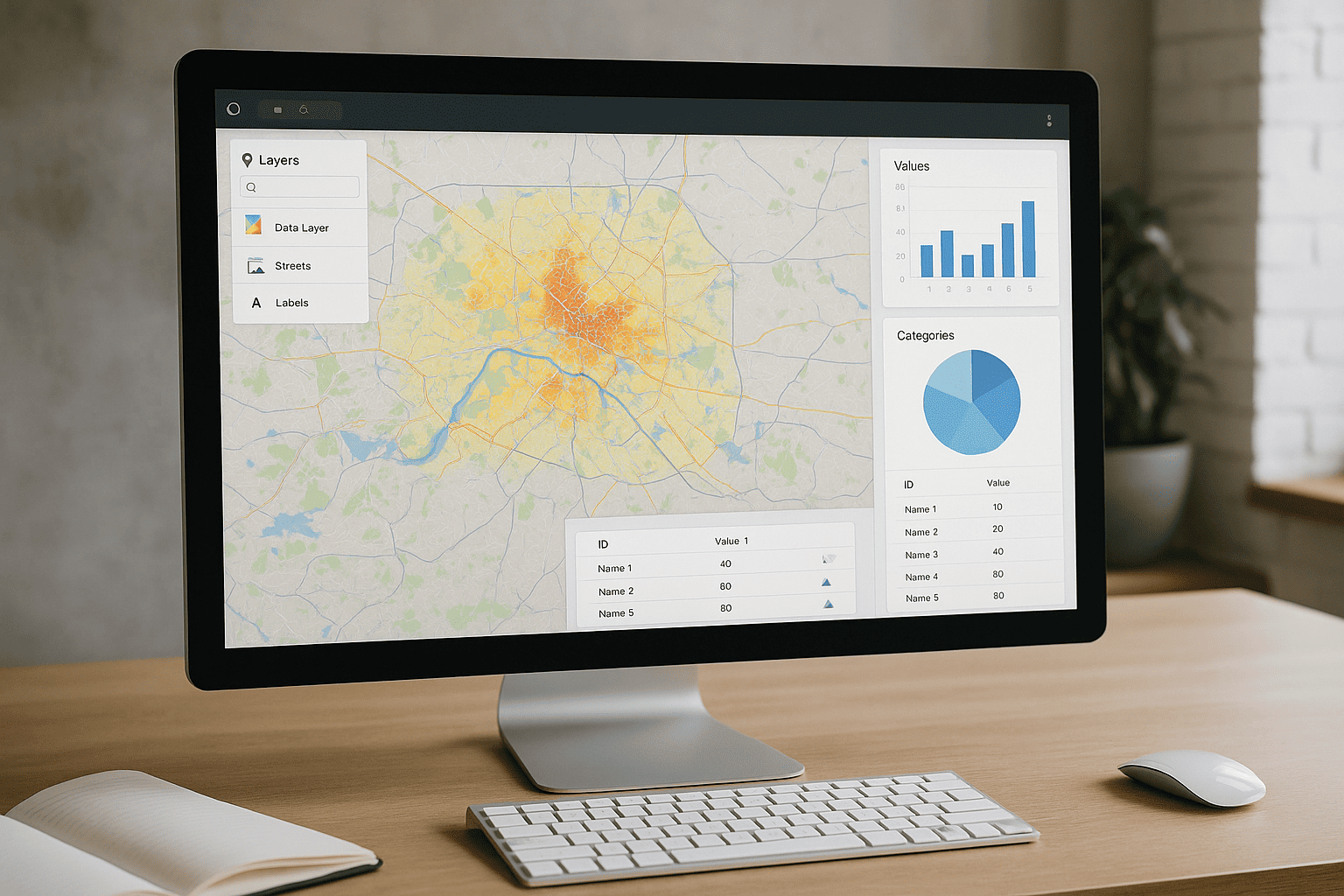
Advanced 3D Terrain Modeling
GeoVista Studio offers a comprehensive suite of tools for understanding and visualizing terrain with exceptional detail. Our web-based platform empowers planners, architects, and sustainability teams to delve into the intricate aspects of geographical landscapes, all within a collaborative online environment. Experience sophisticated spatial analysis and reporting without any software installation, directly through your browser.
High-Fidelity Terrain Surface Generation
Our platform enables the creation of highly detailed and accurate 3D terrain surfaces. Users can transform raw elevation data into rich, interactive models that precisely reflect the nuances of any geographical area. This capability is essential for projects requiring an uncompromising view of the land.
- Seamlessly integrate various elevation data sources.
- Generate smooth, realistic terrain models for detailed visualization.
- Visualize contours, slopes, and aspect ratios with clarity.
Advanced Digital Elevation Model (DEM) Processing
GeoVista Studio facilitates the processing and refinement of Digital Elevation Models, ensuring accuracy for critical planning and design tasks. Our online tools allow for the manipulation and enhancement of DEMs, providing a robust foundation for all subsequent analyses.
- Process and analyze DEMs from diverse data inputs.
- Perform terrain smoothing and noise reduction for improved model quality.
- Extract key topographic features, such as ridges and valleys.
Volumetric and Earthwork Analysis
Gain critical insights into terrain modifications with our advanced volumetric analysis features. Understand cut-and-fill requirements for construction, assess material quantities, and plan site development with greater precision. This functionality supports efficient resource management and project scoping.
- Calculate precise cut and fill volumes for proposed changes.
- Determine material quantities for construction and excavation projects.
- Model various terrain modification scenarios to optimize site planning.
Line-of-Sight and Viewshed Studies
Evaluate visibility across landscapes with our powerful line-of-sight and viewshed analysis tools. These features are invaluable for urban planning, infrastructure placement, and environmental impact assessments, allowing teams to understand what is visible from specific points or areas.
- Conduct detailed line-of-sight analyses between multiple points.
- Generate viewshed maps to identify areas visible from observation points.
- Assess visual impact for proposed structures and developments.
Hydrological Flow and Watershed Delineation
Understand water movement and drainage patterns across terrain with our hydrological modeling capabilities. Delineate watersheds, analyze flow accumulation, and identify potential flood risks, providing essential data for environmental management and sustainable development.
- Delineate watersheds and sub-watersheds with accuracy.
- Analyze surface flow direction and accumulation patterns.
- Support stormwater management and environmental planning initiatives.
All these capabilities are accessible through your web browser, fostering collaboration and streamlined workflows. GeoVista Studio integrates seamlessly with modern mapping processes, including compatibility with ArcGIS, ensuring your team has the tools needed to present compelling analytical data and work together effectively.

Satellite Imagery Solutions
GeoVista Studio offers a robust web-based platform designed to transform how...

Urban & Regional Visualization
GeoVista Studio offers a sophisticated web platform engineered to transform how...


GIS System Implementation
In today's dynamic environment, leveraging geographic data is paramount for...