Geospatial Data Insights
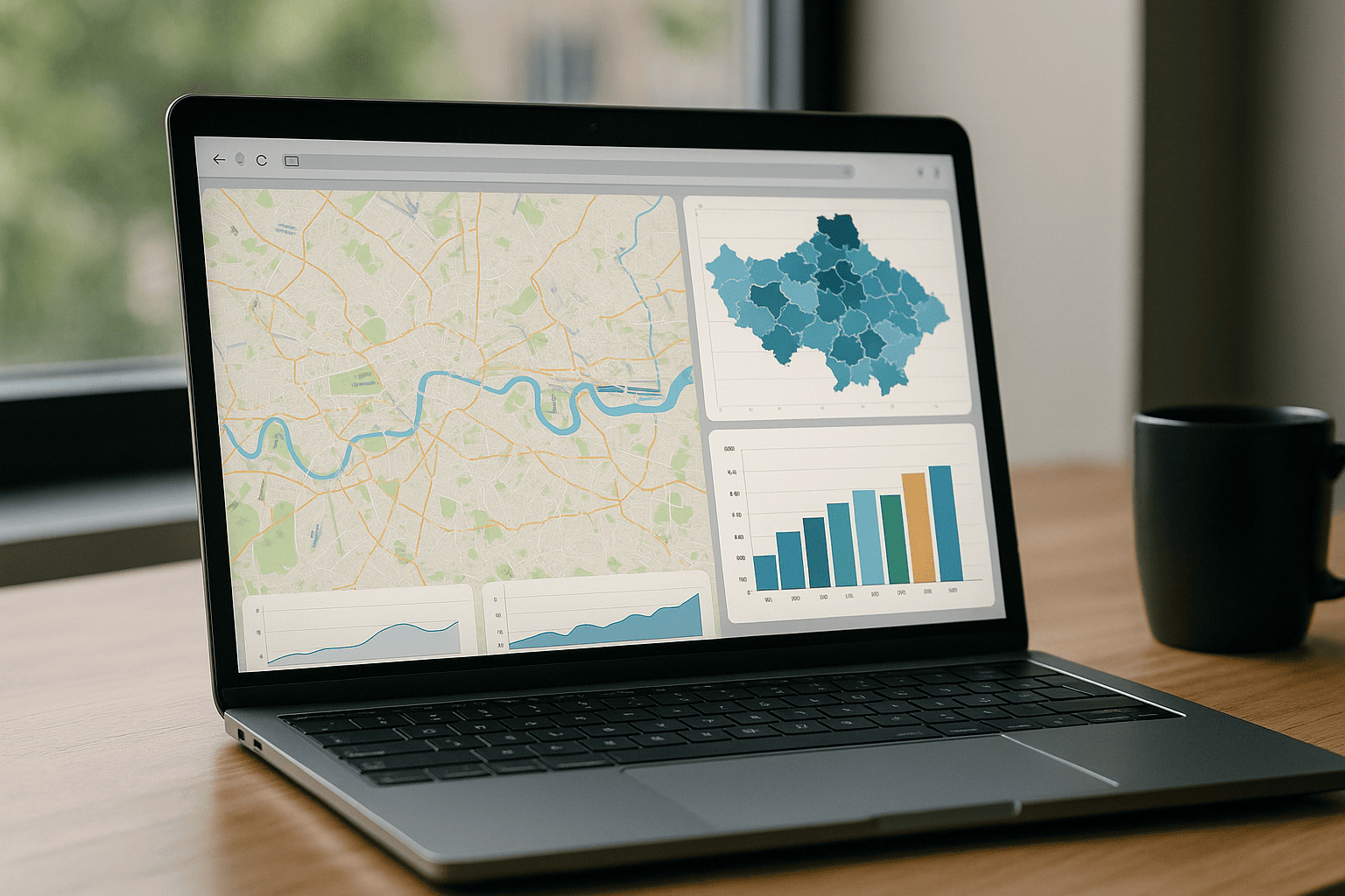
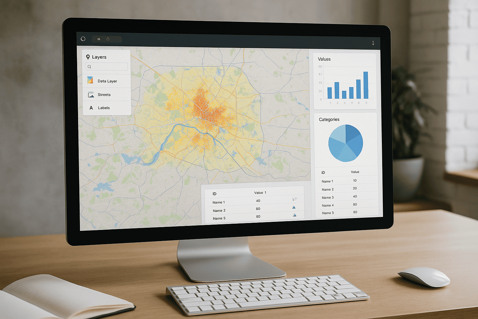
GeoVista Studio transforms how teams engage with geographic information. Our browser-native platform brings sophisticated mapping and spatial analysis directly to you, requiring no software downloads or installations. Experience seamless collaboration and powerful data visualization, all within your web browser. It’s a dynamic environment where geographical layers can be merged, metrics analyzed, and interactive maps shared with unparalleled ease.
Empowering Collaborative Mapping: Insights for Planners & Architects
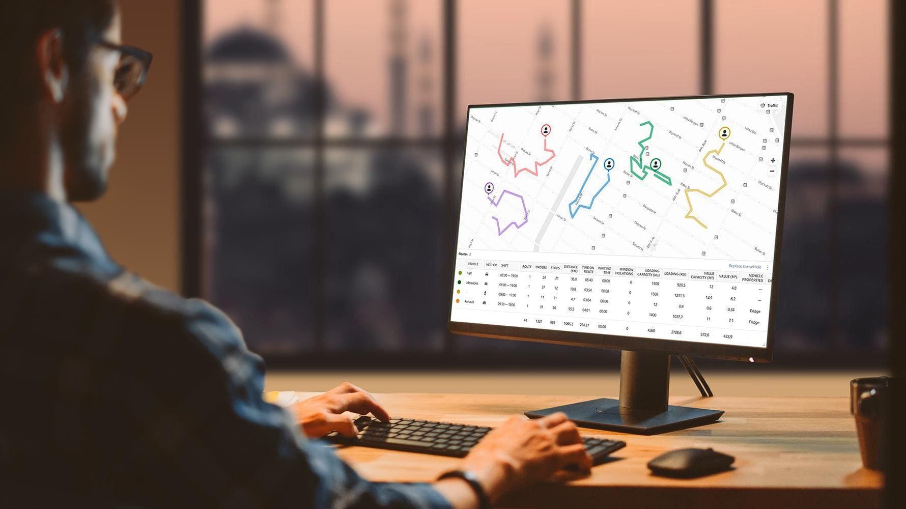
For planners, architects, and sustainability teams, GeoVista Studio provides a unified space to merge geographic layers, analyze critical metrics, and share dynamic, interactive maps. This robust environment supports modern mapping workflows, including compatibility with ArcGIS, fostering data-driven decision-making in a shared online workspace. Teams can present analytical insights about locales and work together efficiently, all from their web browser.
Visualize Your World: Advanced Spatial Analysis, Simplified
Discover a streamlined approach to understanding your environment with GeoVista Studio. Our platform is designed to make complex geospatial analysis accessible and collaborative.
- Combine diverse geographic layers with ease.
- Perform in-depth spatial analysis on key indicators.
- Generate and share interactive maps instantly online.
- Access all features directly through your web browser, anytime, anywhere.
- Benefit from compatibility with existing ArcGIS processes, ensuring a smooth transition for your projects.
Transforming Location Data into Actionable Intelligence
GeoVista Studio offers a comprehensive web platform for mapping, spatial analysis, and visual reporting. It allows teams to combine geographical layers, analyze indicators, and share interactive maps directly online, without the need for software installation. The platform supports modern mapping processes, including ArcGIS compatibility, enabling planners, architects, and sustainability teams to present analytical data about areas and collaborate effectively in a shared digital space.

Satellite Imagery Solutions
GeoVista Studio offers a robust web-based platform designed to transform how...

Urban & Regional Visualization
GeoVista Studio offers a sophisticated web platform engineered to transform how...


GIS System Implementation
In today's dynamic environment, leveraging geographic data is paramount for...