
GIS System Implementation
In today's dynamic environment, leveraging geographic data is paramount for strategic planning and informed decision-making. GeoVista Studio offers a powerful, browser-native platform designed to streamline your organization's adoption and utilization of Geographic Information Systems.
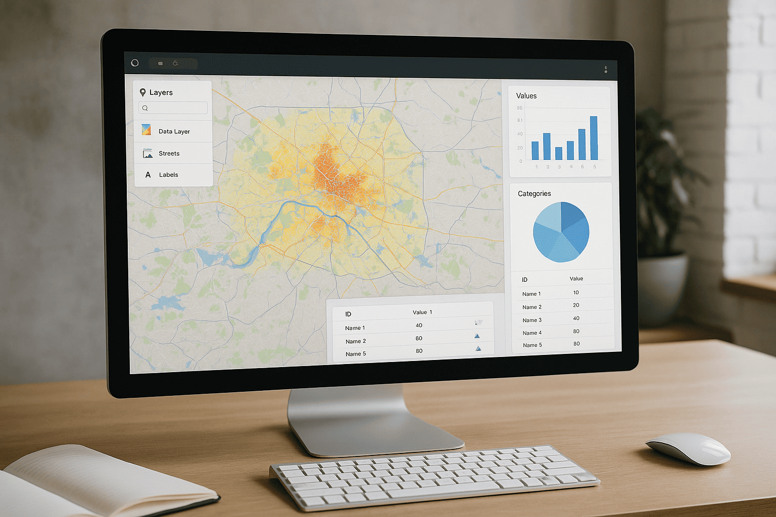
Streamlined Geospatial Integration
Our platform simplifies the complex process of integrating diverse geographic datasets into a unified, actionable view. With GeoVista Studio, teams can effortlessly combine various spatial layers, including seamless compatibility with ArcGIS, ensuring your existing data assets are fully utilized. This enables a comprehensive understanding of your operational landscape without the need for intricate software installations.
Collaborative Spatial Analysis and Reporting
Facilitating teamwork is at the core of our design. GeoVista Studio empowers planners, architects, and sustainability teams to analyze critical metrics and present compelling analytical data about specific localities. Our interactive mapping tools foster a collaborative environment, allowing stakeholders to share insights and work together within a single, accessible online space. The intuitive interface supports modern mapping processes, making advanced spatial analysis approachable for all team members.
Browser-Native Accessibility and Efficiency
Experience the full power of GIS directly within your web browser. GeoVista Studio operates exclusively online, eliminating the need for any software downloads or installations. This unparalleled accessibility ensures that your teams can begin working immediately, from any location, with just an internet connection. This approach significantly reduces technical overhead and allows for rapid deployment of geospatial capabilities across your organization.
Advancing Your Spatial Initiatives
GeoVista Studio is more than just a mapping tool; it's a comprehensive solution for advancing your organization's spatial intelligence. From initial data visualization to complex analytical reporting, our platform provides the essential framework for transforming raw geographic information into strategic insights. We support your journey towards enhanced operational clarity and more effective decision-making through robust, accessible geospatial capabilities.
Discover how GeoVista Studio can elevate your organization's approach to geographic data and collaborative planning.

Satellite Imagery Solutions
GeoVista Studio offers a robust web-based platform designed to transform how...


Urban & Regional Visualization
GeoVista Studio offers a sophisticated web platform engineered to transform how...

GIS System Implementation
In today's dynamic environment, leveraging geographic data is paramount for...