Urban & Regional Visualization
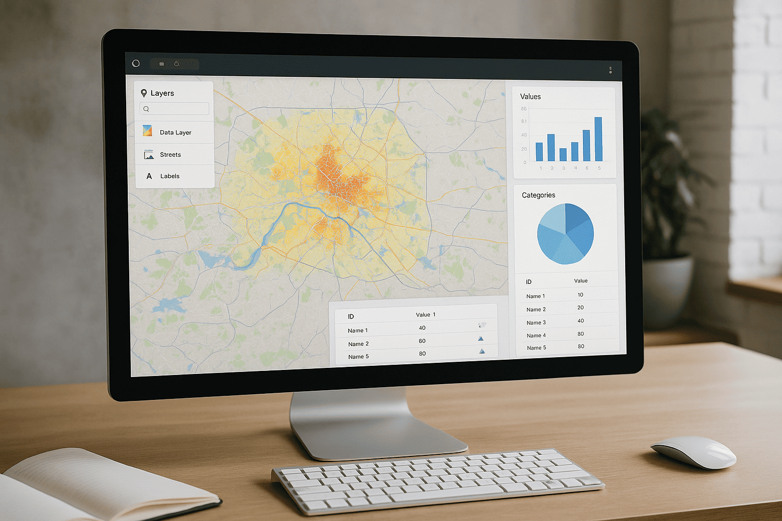
GeoVista Studio offers a sophisticated web platform engineered to transform how teams approach urban and regional development. It provides a comprehensive suite of tools for mapping, spatial analysis, and visual reporting, all accessible directly through your web browser. There's no need for software installations or downloads; every feature is available online, ensuring a seamless and immediate experience for all users.
Our platform enables planners, architects, and sustainability teams to seamlessly integrate diverse geographical layers, analyze critical metrics, and present compelling, interactive maps. This capability fosters a deeper understanding of complex spatial data, facilitating more informed and strategic decision-making across various projects.
Collaborative Spatial Intelligence
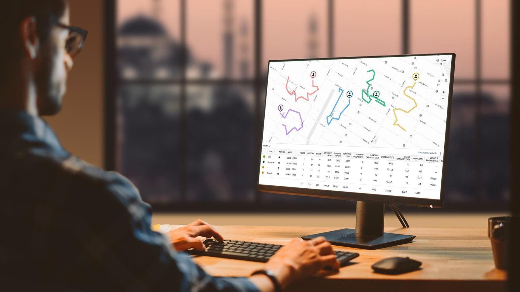
The essence of effective urban and regional planning lies in collaboration. GeoVista Studio is built to support this by providing a shared digital workspace where teams can unite. Imagine combining various data sources, from demographic trends to environmental factors, and then visualizing their interplay on dynamic, shareable maps. This allows for a unified perspective, streamlining communication and ensuring everyone is working from the same analytical foundation.
- Unify Data Layers: Effortlessly combine and overlay diverse geographical datasets to reveal hidden patterns and relationships within urban and regional landscapes.
- Analyze Key Indicators: Perform robust spatial analysis on vital metrics, transforming raw data into actionable insights for strategic planning.
- Share Interactive Maps: Distribute dynamic, engaging maps that allow stakeholders to explore data independently, fostering transparency and collective understanding.
Unlocking Urban and Regional Insights
GeoVista Studio supports modern cartographic processes, including robust compatibility with ArcGIS. This integration is crucial for professionals who rely on established workflows and data standards. It means your existing ArcGIS data can be leveraged directly within our platform, enhancing your analytical capabilities without disruption.
From initial concept development to long-term sustainability assessments, our platform provides the visual clarity needed to present analytical data about localities and work collaboratively. It’s an ideal environment for illustrating the impact of proposed developments, understanding community needs, or tracking environmental changes over time. By centralizing these functions, GeoVista Studio empowers teams to craft more resilient and thoughtfully designed urban and regional spaces.

Satellite Imagery Solutions
GeoVista Studio offers a robust web-based platform designed to transform how...

Urban & Regional Visualization
GeoVista Studio offers a sophisticated web platform engineered to transform how...


GIS System Implementation
In today's dynamic environment, leveraging geographic data is paramount for...