Custom Interactive Mapping
At GeoVista Studio, we empower organizations to transform their geographic data into actionable insights through our advanced web-based platform. We understand that every project has unique spatial requirements, which is why we specialize in providing comprehensive services for custom interactive mapping. Our platform is engineered to facilitate seamless collaboration and sophisticated spatial analysis, all accessible directly within your web browser.
Empowering Your Spatial Vision Online
Our services are designed to bring your specific mapping needs to life without the complexities of software installation or maintenance. GeoVista Studio allows your teams to:
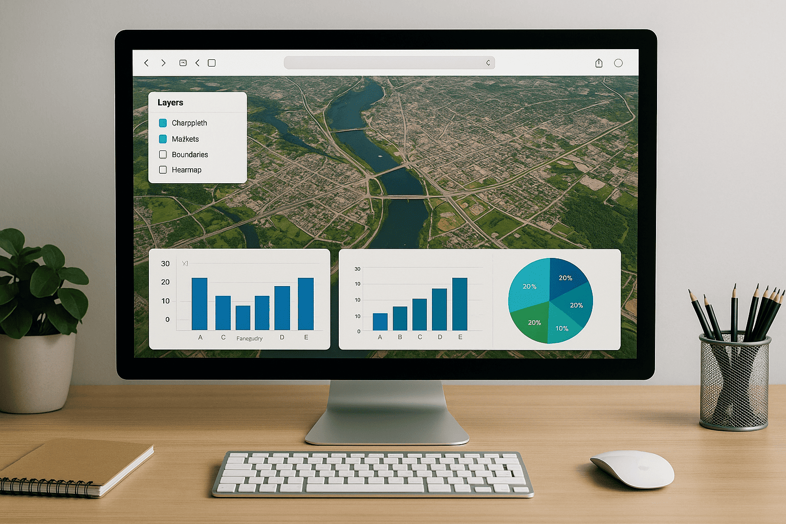
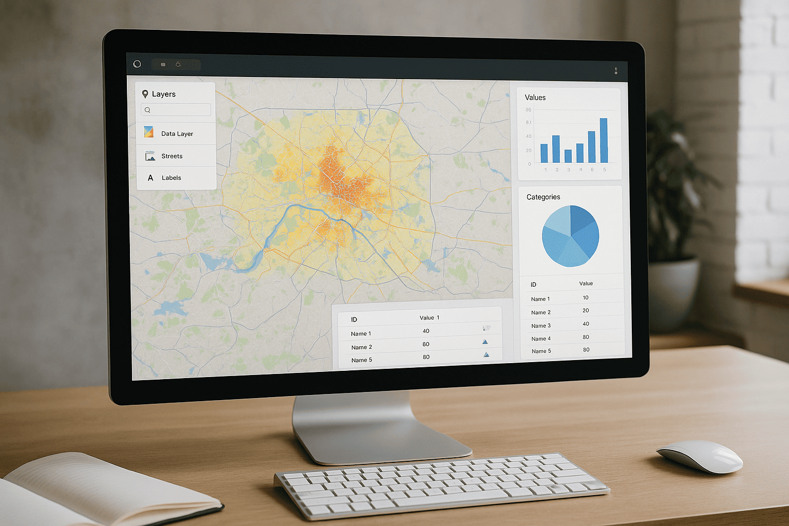
- Combine diverse geographic layers to create rich, multi-faceted views of your areas of interest.
- Analyze key metrics and trends directly on the map, uncovering patterns and relationships that drive informed decision-making.
- Share interactive maps and reports with stakeholders, fostering a shared understanding and accelerating project timelines.
This browser-exclusive environment ensures that everyone, from planners and architects to sustainability teams, can access and contribute to critical geospatial projects from anywhere, at any time.
Advanced Capabilities for Modern Mapping
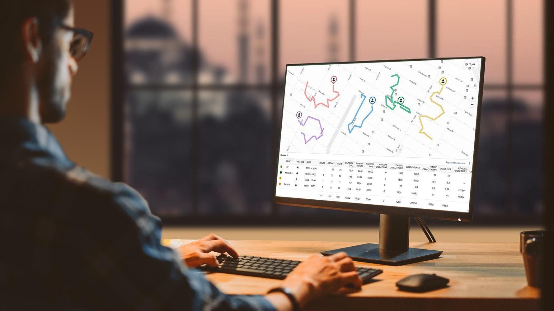
GeoVista Studio supports contemporary mapping processes, ensuring your projects benefit from the latest in geospatial technology. Our platform offers:
- Robust compatibility with ArcGIS, allowing for smooth integration of existing datasets and workflows.
- Tools for visualizing complex analytical data about terrain, demographics, environmental factors, and more.
- A collaborative workspace where teams can collectively develop and present spatial strategies, ensuring alignment across all project phases.
Experience the power of a fully online mapping solution that adapts to your workflow, enabling precision and partnership in every endeavor. With GeoVista Studio, your custom interactive maps become powerful instruments for understanding and shaping your world.

Satellite Imagery Solutions
GeoVista Studio offers a robust web-based platform designed to transform how...

Urban & Regional Visualization
GeoVista Studio offers a sophisticated web platform engineered to transform how...


GIS System Implementation
In today's dynamic environment, leveraging geographic data is paramount for...